


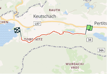

6,3 km | 9,3 km-effort

Tous les sentiers balisés d’Europe PRO


Application GPS de randonnée GRATUITE
 SityTrail
IGN / Instituts géographiques
SityTrail World
Le monde est à vous
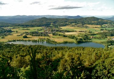
Randonnée A pied de 3,4 km à découvrir à Carinthie, Bezirk Klagenfurt-Land, Keutschach am See. Cette randonnée est proposée par SityTrail - itinéraires balisés pédestres.
Randonnée créée par Gemeinde Keutschach.
http://www.rundwanderweg.at.vc/
Symbole: gelbe Tafeln mit schwarzem Schrift 4-Seental RWW


A pied

A pied

A pied

A pied
A pied

A pied